


Axial Spaces — Industrial LiDAR & 3D Facility Twins
Industrial SLAM LiDAR capture and 3D facility twins for manufacturers.
Your shop. At your fingertips. Anytime. Anywhere.
Axial Spaces uses mobile SLAM LiDAR to capture the plant while walking a planned route through the facility. The resulting planning-grade spatial record supports equipment moves, layout planning, remote review, contractor coordination, and as-built facility documentation.
02 / START WITH THE FACILITY DECISION
Adding or moving equipment?
Buying a CNC machine, adding automation or reorganizing production? Capture the facility before equipment arrives. Mobile SLAM LiDAR creates a planning-grade spatial record that helps teams evaluate placement, access, workflow and installation constraints before move day.
Know where the machine will go before it arrives.
Compare the footprint, destination, service access, workflow and route—then verify every critical clearance before commitment.
Plan an equipment move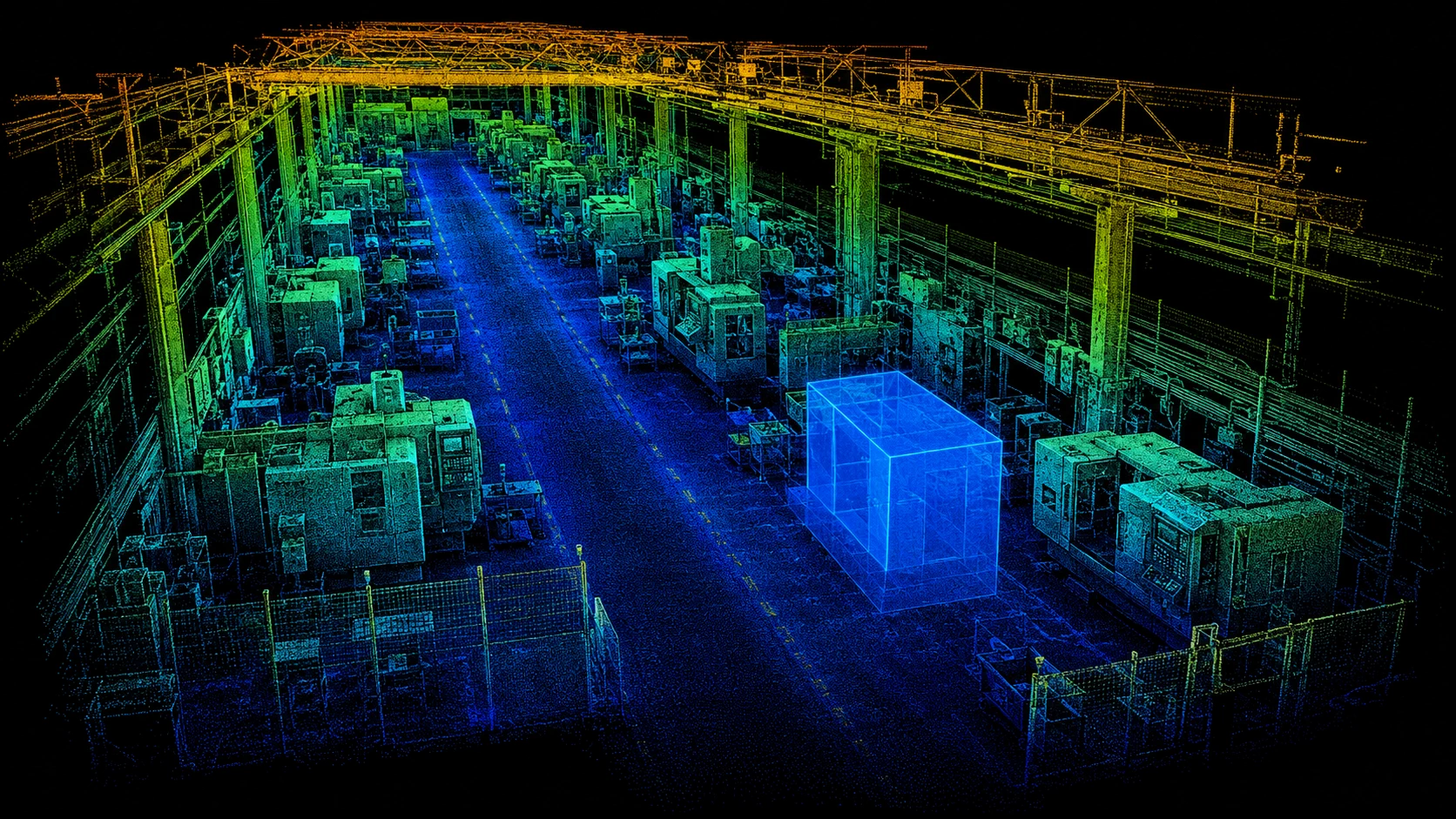
Reorganize the floor before moving a thing.
Compare machine placement, workflow, material flow, access lanes, service space, and future expansion.
Explore plant layout planning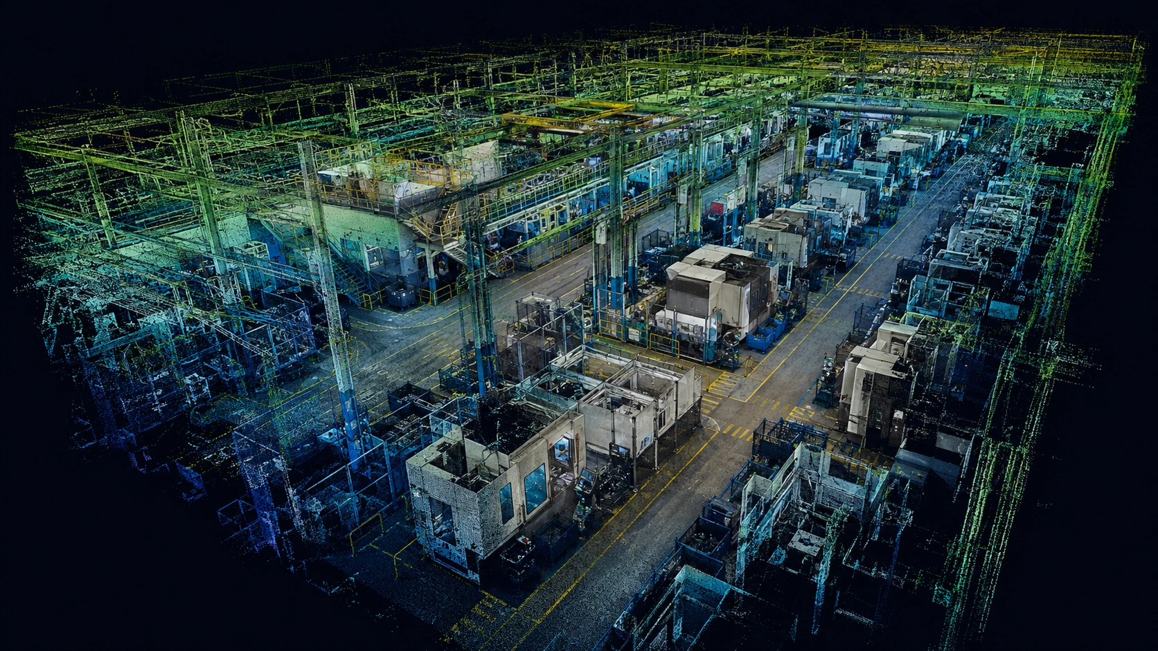
Bring the existing plant into the room.
Give contractors and stakeholders a reusable browser-accessible record for remote review, coordination, and documentation.
Explore 3D facility twinsPlanning boundary: capture is performed with mobile SLAM LiDAR, so result quality can vary with scan path, environment, surface conditions and accumulated drift. The facility twin supports discussions about machine placement, egress, workflow and coordination; it does not provide survey, engineering, building- or fire-code, accessibility, metrology or legal safety approval.
03 / DELIVERABLE + TECHNOLOGY
One reusable facility record.
Three distinct roles.
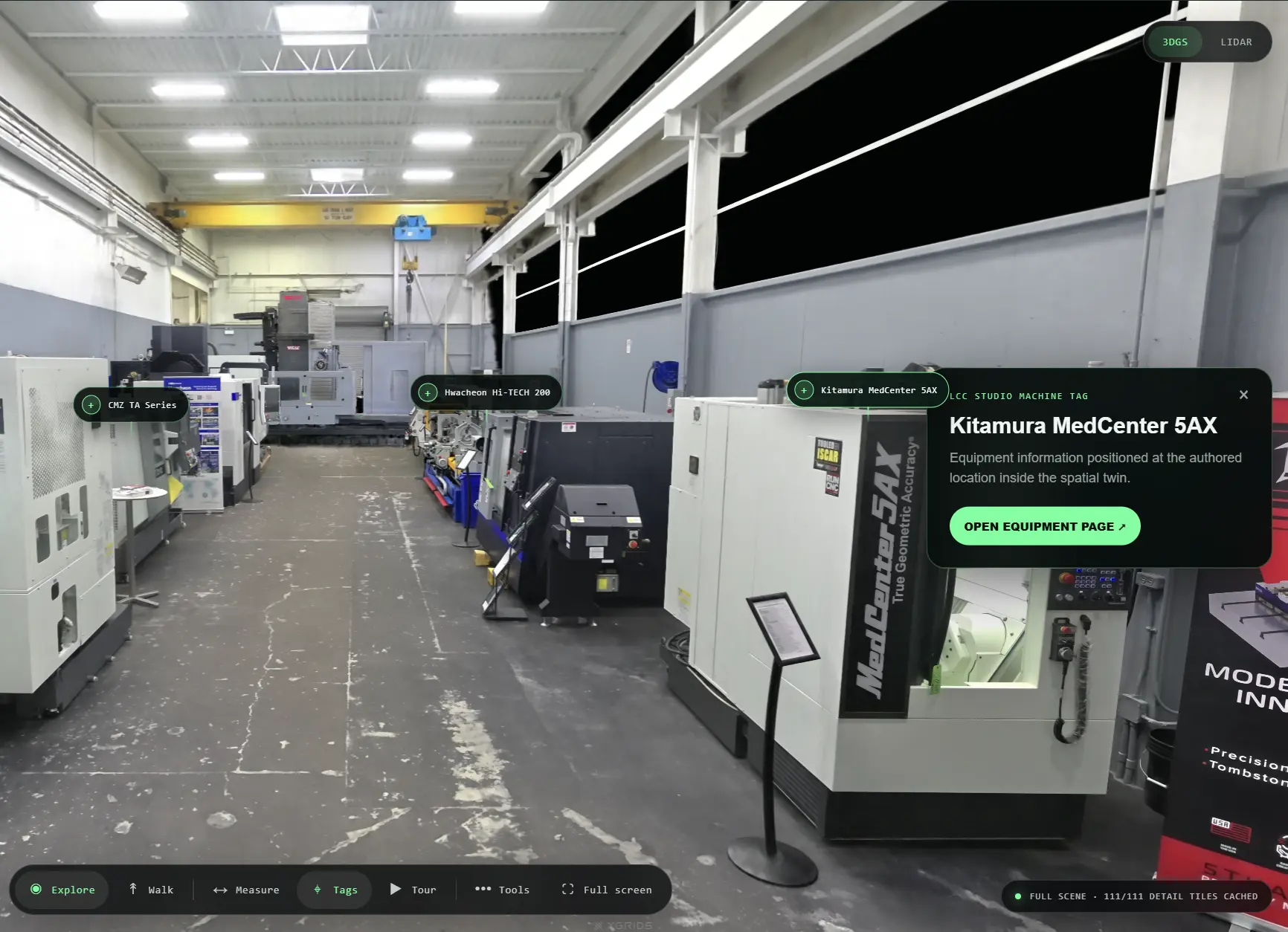
Mobile SLAM LiDAR captures planning-grade spatial geometry and measurement context while moving through the facility. 3D Gaussian Splatting creates the photoreal visual experience. The 3D facility twin is the browser-accessible deliverable your team can reuse.
What is this 3D facility twin?
It is a reusable browser-accessible record of a real industrial facility at a stated capture date and version. Mobile SLAM LiDAR supplies planning-grade spatial geometry and measurement context; 3DGS supplies the photoreal view. This example is not survey- or metrology-grade and has no live sensor or operational-data connection.
Capture once. Reuse it until the facility changes. Update it when the plant changes.
- Capture date
- 21 July 2026
- Facility-twin version
- 2.0.0
- Areas included
- Primary showroom and machine-display areas; 10 viewpoints; 5 machine tags
- Important exclusions
- Private areas, hidden or occluded surfaces, and live operational data
- Record status
- Historical demonstration capture · preview published 10 August 2026
04 / BUILT FROM INSIDE MANUFACTURING
I know the shop.
Now I help you see it.
30+ years planning and leading CNC operations—from machine purchases and shop moves to layouts, workflow, and production.
The full story stays behind the portrait. THE FULL STORY IS JUST BEYOND THE BLURClick to reveal my perspective↗
05 / START WITH ONE DECISION
Show me what your team
needs to see.
Focused decision-capture projects start around CAD $1,500. Full-facility capture, facility twins, CNC installation planning, equipment-move planning, hosting, and specialized deliverables are quoted by scope.